Google Maps already displays information on road incidents such as constructions and road closures for Android and iPhone users, courtesy of crowd-sourced reports from Waze. That was after Google acquired that mapping service in 2013 for $966 million.
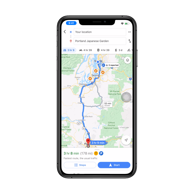
Today, the search giant is rolling out a native capability for iPhone users to report incidents like road crash and other traffic conditions in real time directly on Google Maps. This feature has already been available on Android, keeping users updated with road situations while driving or commuting.
Sandra Tseng, Product Manager for Google Maps, wrote in a blog post that this feature has been popular on Android. Its expansion to iOS is, of course, a welcome development.
In addition, Google Maps is adding four types of road incidents users can report about, namely construction, lane closures, disabled vehicles, and objects on the road. The new capability is intended to help drivers see potential road blocks in real time and plan their trip beforehand. Users can submit a report by tapping on the plus sign and then selecting "Add a report". Tseng says these capabilities will also be available worldwide on Android and iOS starting this week.